SCCOOS employs a variety of in situ and remote sensing technologies to measure physical, chemical, biological, and geological parameters as well as supports ocean models and provides forecasts of future conditions.
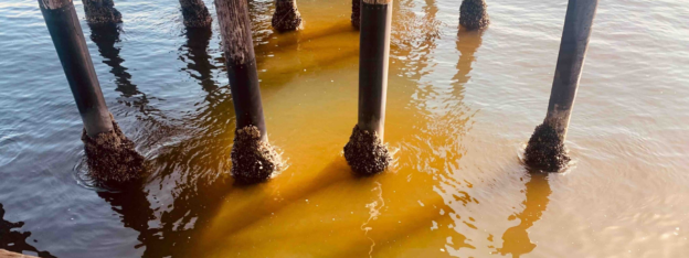
Since 2005, SCCOOS automated shore stations provide real-time temperature, salinity, and chlorophyll at four pier locations along the California coast and pH and oxygen at three pier sites.
To better understand ocean acidification and hypoxia impacts, SCCOOS monitors in near real-time pH and DO at our automated shore stations (SASS).
SCCOOS supports weekly water samples at five pier stations to monitor phytoplankton abundance, Domoic Acid and nutrients including ammonium, nitrate, phosphate, and silicic acid.
A network of Imaging FlowCytobots is deployed throughout California.
Flooding and inundation forecasting models in Southern California.
Meteorological stations along the coast provide wind speed, wind direction, air temperature, relative humidity, barometric pressure, solar radiation, rainfall, and water temperature data.
Manual shore stations at six sites along the California coast collect data on sea surface temperature and salinity.